
Location & How to Reach
Conveniently situated in Dharan, Nepal, offering easy access to town markets, scenic viewpoints, and the rolling hills of Eastern Nepal.
Hotel Gorkha
Dharan, Koshi Province, Nepal
Click below to open our verified hotel location in Google Maps on your smartphone or browser for step-by-step driving and transit navigation.
Hotel Gorkha
Dharan, Koshi Province, Nepal
Distances from Hotel Gorkha to Key Attractions
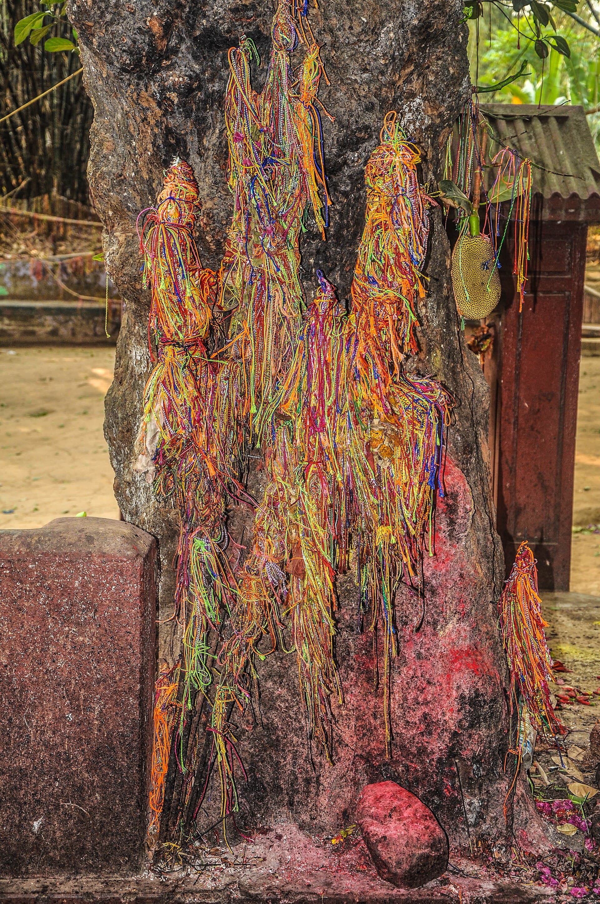
Photo: Hari gurung77 · CC BY-SA 4.0
Budha Subba Temple
A revered Kirat and Hindu shrine at Bijayapur, Dharan-14, set within a grove of tipless bamboo. The historic site on Vijayapur hill is associated with the Kirat kingdom of Bijayapur and draws devotees wishing for good fortune, especially on Saturdays.
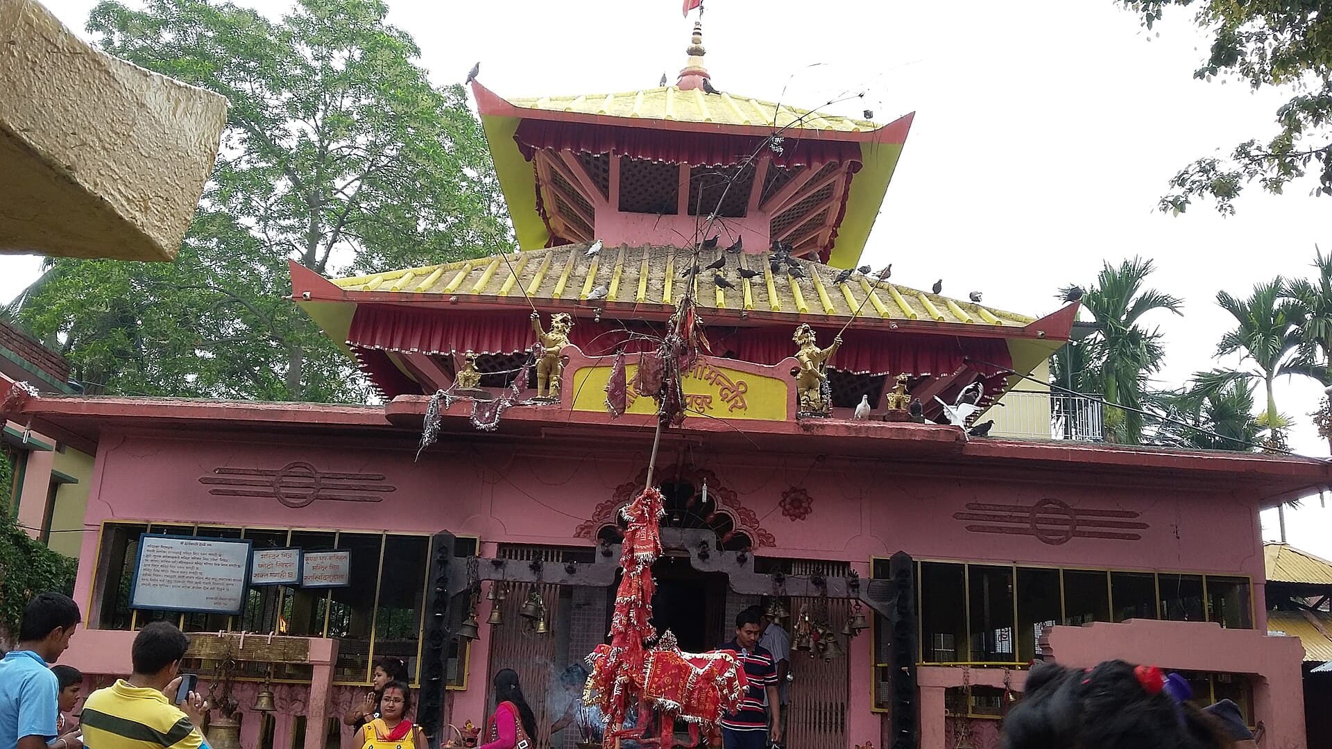
Photo: Npboe · CC BY-SA 3.0
Dantakali Temple
A hilltop Shakti Peeth on Vijayapur hill dedicated to Goddess Sati (Dantakali), named for the legend of her tooth falling here. A short climb above the city, it is busiest during Dashain and Navaratri.
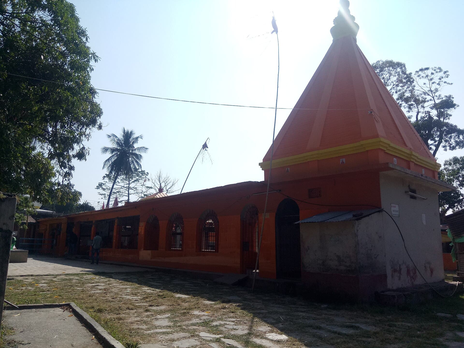
Photo: Bijay Shah · CC BY-SA 4.0
Pindeshwor Temple
An ancient Shiva temple at the foot of Vijayapur hill, with oil lamps kept burning continuously. Devotees carry holy water from the Koshi during Shrawan and at Maha Shivaratri.
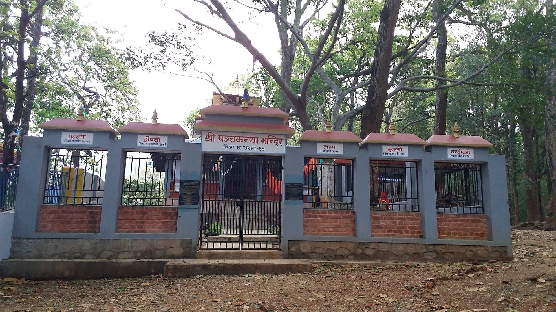
Photo: Janak Bhatta · CC BY-SA 4.0
Panchakanya Temple & Natural Park
A temple dedicated to the five divine maidens of Hindu mythology, set within the Panchakanya community forest on Vijayapur hill. A popular shaded picnic and walking spot, and a gathering place for Kirat Udhauli and Ubhauli festivals.
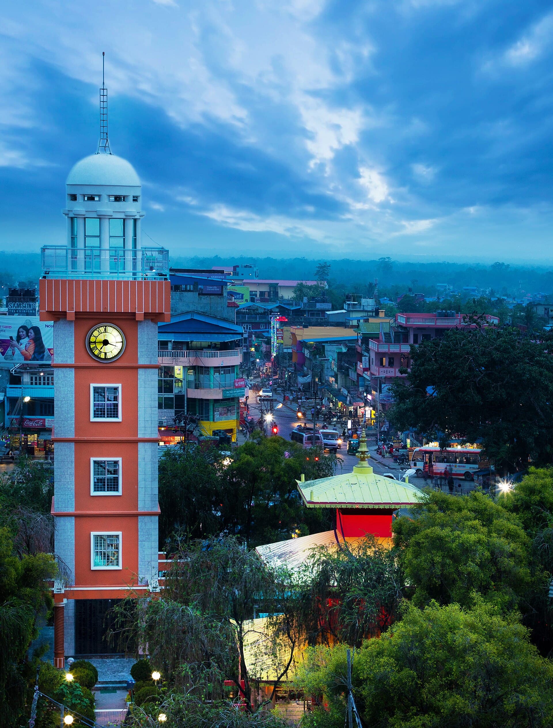
Photo: Mithun Kunwar · CC BY-SA 4.0
Dharan Clock Tower (Ghantaghar)
The 76.5-foot, five-storey clock tower at Bhanu Chowk, built with support from Dharan's Hong Kong community and opened in 2006. Its top-floor viewing platform looks out over the city, with an earthquake memorial beside it.
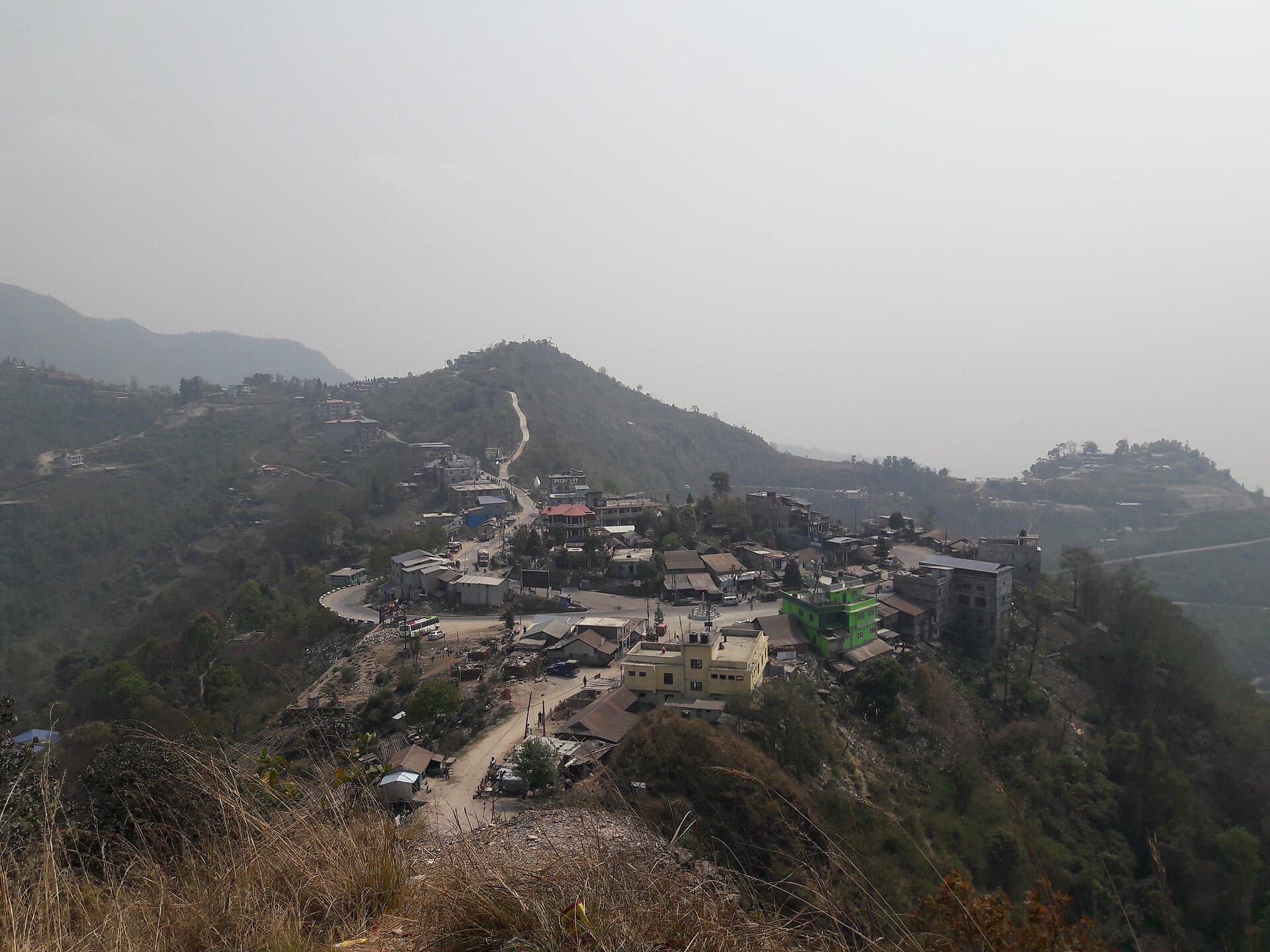
Photo: Prabina Karki · CC BY-SA 4.0
Bhedetar Hill Station
A cool ridge-top hill station at about 1,420 m on the Dharan–Dhankuta road, where the Terai meets the eastern hills. The old Charles Point lookout now hosts a glass skywalk tower, and on clear days the Himalaya are visible to the north.
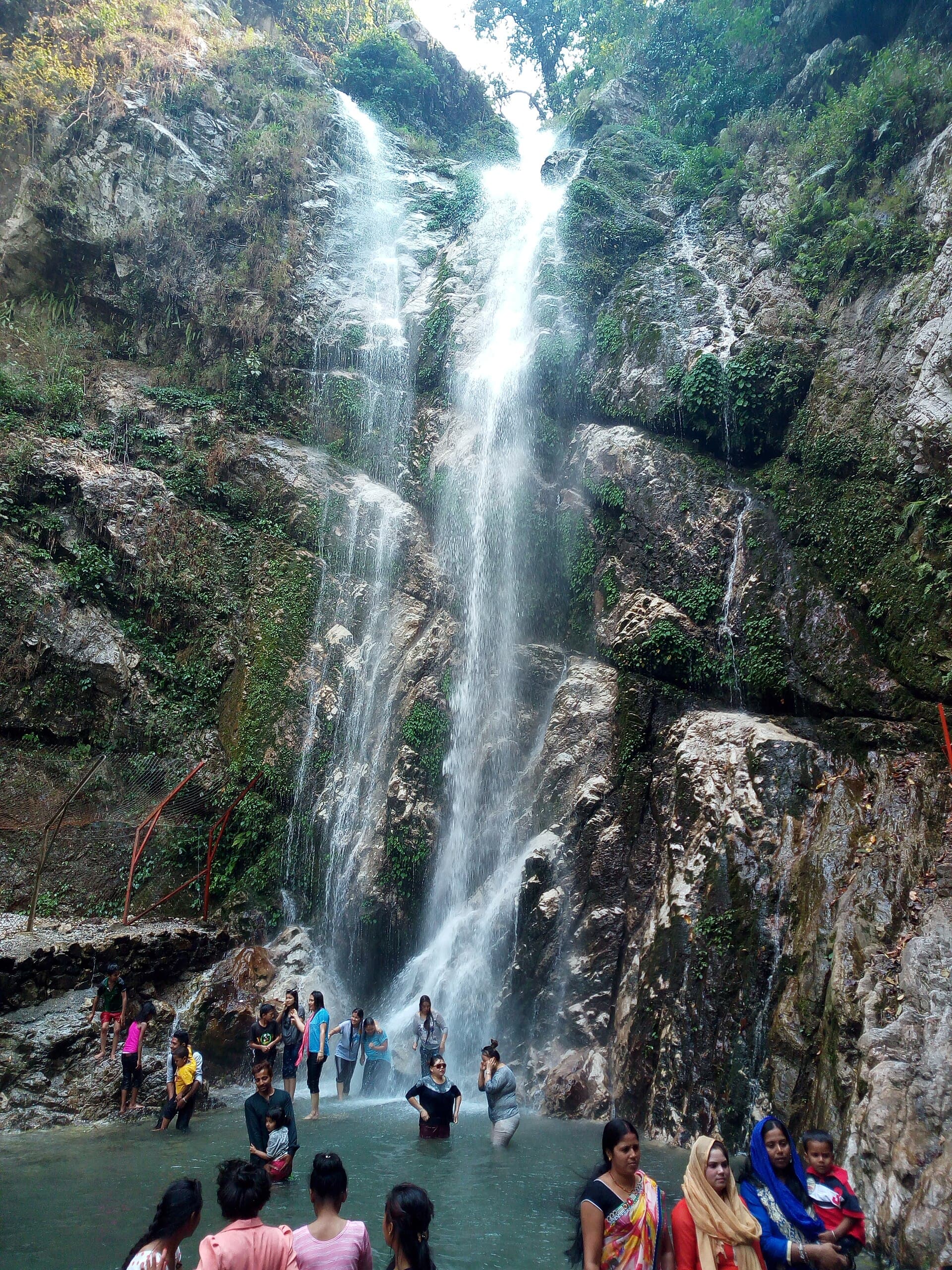
Photo: Iammanoj · CC BY-SA 4.0
Namaste Falls (Namaste Jharana)
A roughly 80-metre forest waterfall in the Bhedetar area of Dhankuta, reached by a short walk from the roadside and a favourite picnic spot on the climb out of Dharan. It is fullest right after the monsoon.
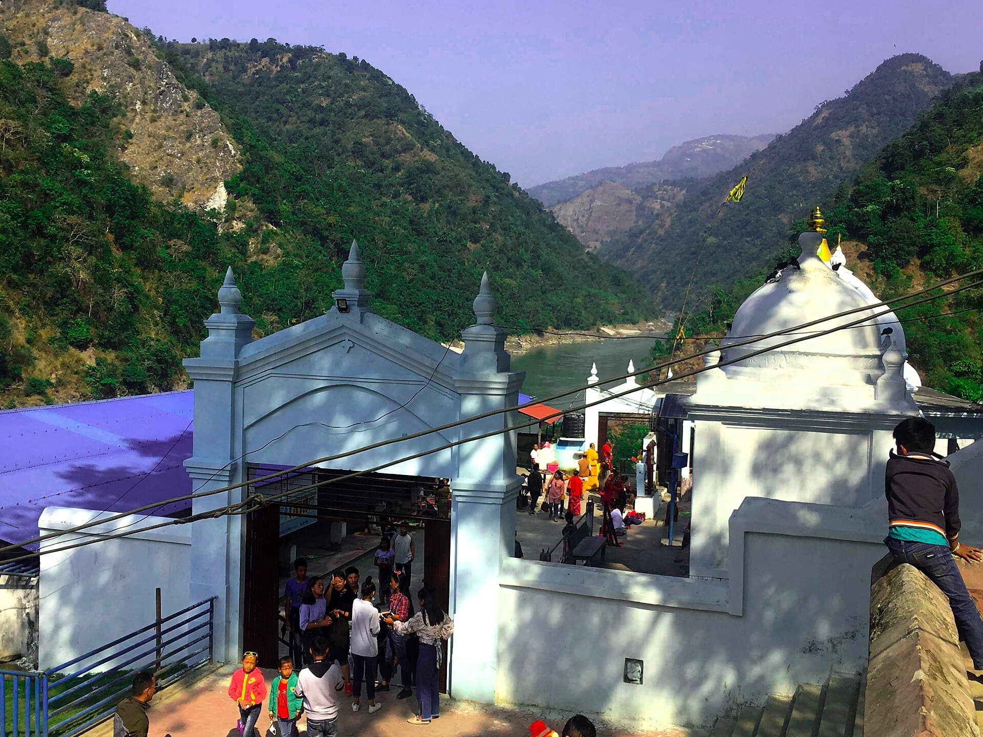
Photo: Pushpendra khadka · CC BY-SA 4.0
Barahakshetra (Chatara)
One of Nepal's Char Dham pilgrimage sites, where Vishnu is worshipped as Varaha at the confluence of the Koka and Koshi rivers. Among the oldest shrines in the country, mentioned in the Puranas and the Mahabharata.